Skip to content
Stark Auto Rentals

Plan your trip

Things to Do in Trinidad & Tobago

Trinidad rewards a car. Most of the places people come here to see sit off the main public-transport routes, and the road between them is half the point. Everything below is grouped by how far it is from our base in Central Trinidad, so you can plan a day rather than a list. Drive times are approximate and assume normal traffic — Port of Spain at rush hour ruins any estimate.

Central Trinidad · Serving all of Trinidad & Tobago

Opening times, entry fees and tour operators change. Confirm before you set off, and ask us at the counter — we'll tell you who we use.

Within 45 minutes of our Central Trinidad base

The easiest day out, and the one most visitors skip.

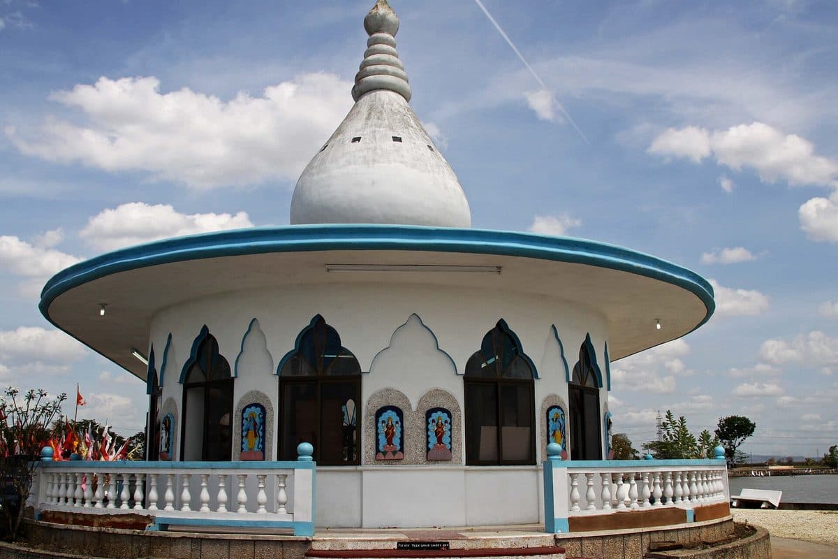
Temple in the Sea at Waterloo, set out into the Gulf of Paria
Waterloo · approx. 25 min

Temple in the Sea

The Sewdass Sadhu Shiva Mandir, built out into the sea itself. Sewdass Sadhu — an indentured labourer from India — first built it in the Gulf of Paria in 1952; it was rebuilt by Randolph Rampersad and reopened in 1995. One of the most photographed Hindu temples in the Caribbean, and a genuinely strange, beautiful thing to walk out to.

Practical: An active place of worship — dress respectfully.
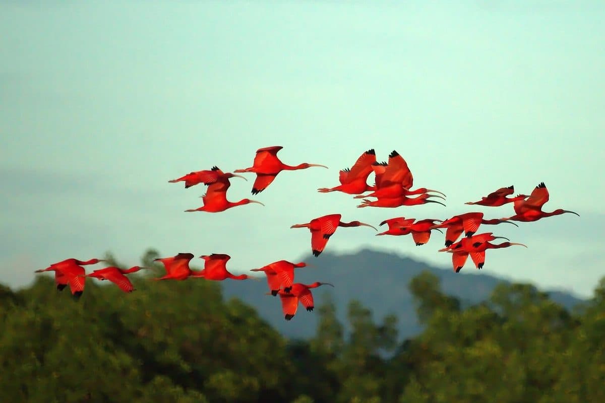
Mangrove waterways in the Caroni Swamp
Caroni · approx. 30 min

Caroni Swamp

Trinidad's largest mangrove forest and its second-largest wetland, where the Caroni River meets the Gulf of Paria. The reason to go is the evening boat tour: as the light drops, scarlet ibis — the national bird — return to roost in flocks so dense they read as red brushstrokes across the trees.

Practical: Tours leave late afternoon and run about two hours. Book ahead; the good ones fill.

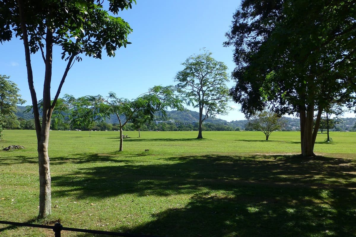
Open grounds of Queen's Park Savannah in Port of Spain
Port of Spain · approx. 40 min

Queen's Park Savannah

About 260 acres of open ground in the middle of the capital, with a perimeter road of roughly 3.5 km that the whole city seems to circle on an evening. The Magnificent Seven — the colonial mansions along the western edge — are the postcard view.

Practical: Easy to drive around; parking is tight on weekday mornings.

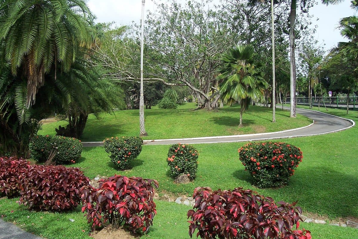
Tropical trees and green paths in the Royal Botanic Gardens
Port of Spain · approx. 40 min

Royal Botanic Gardens

Established in 1818, one of the oldest botanic gardens in the world: 61.8 acres holding some 700 trees, roughly 13% of them indigenous, the rest collected from every continent. It sits directly north of the Savannah, so it pairs with it in one stop.

Practical: Walkable from the Savannah. Good shade; the midday heat is not.

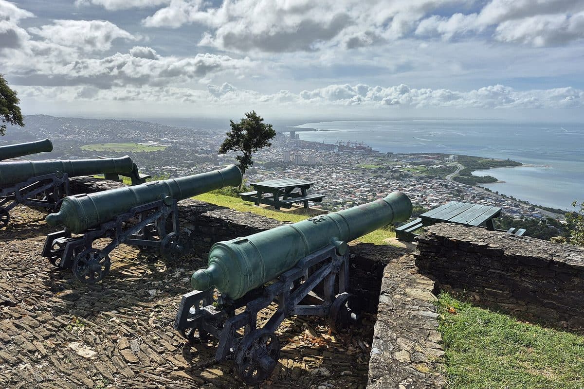
Historic Fort George overlooking Port of Spain and the Gulf of Paria
Port of Spain · approx. 45 min

Fort George

A hilltop fort above the city with the old cannons still pointing out over the Gulf of Paria — the best view of Port of Spain and its harbour, and the quickest way to understand the city's geography in one look.

Practical: Short, steep drive up. Go early or late; the hill bakes at midday.

The north coast — 1 to 1.5 hours

Mountain road, rainforest, then the sea. The drive is the attraction.

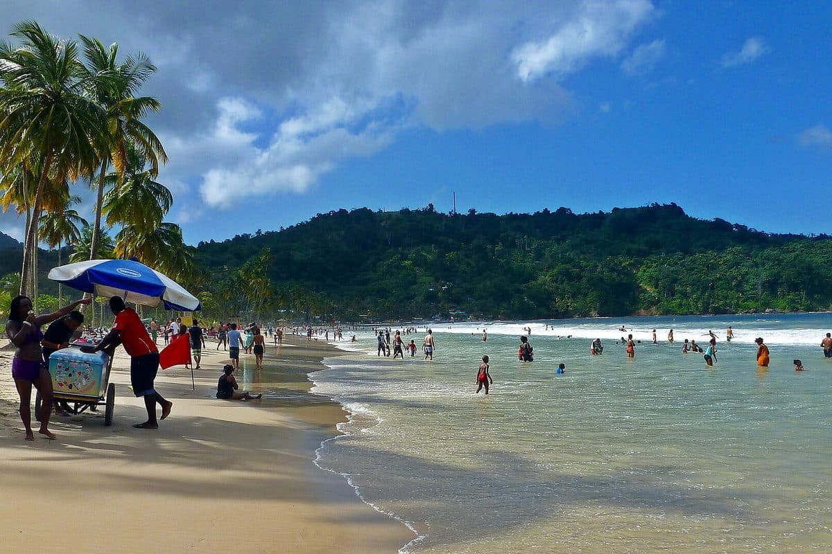
The curved shoreline and forested hills around Maracas Bay
North coast · approx. 1 hr 15

Maracas Bay

The beach most people mean when they say a Trinidad beach: a long curve of sand backed by forested hills, with the ridge road over the top of it being half the experience. The bake and shark stalls at the top are a national institution — shark, fried bake, and a condiment bar you build yourself.

Practical: Surf can be strong. Weekdays are far quieter than Sundays and holidays.

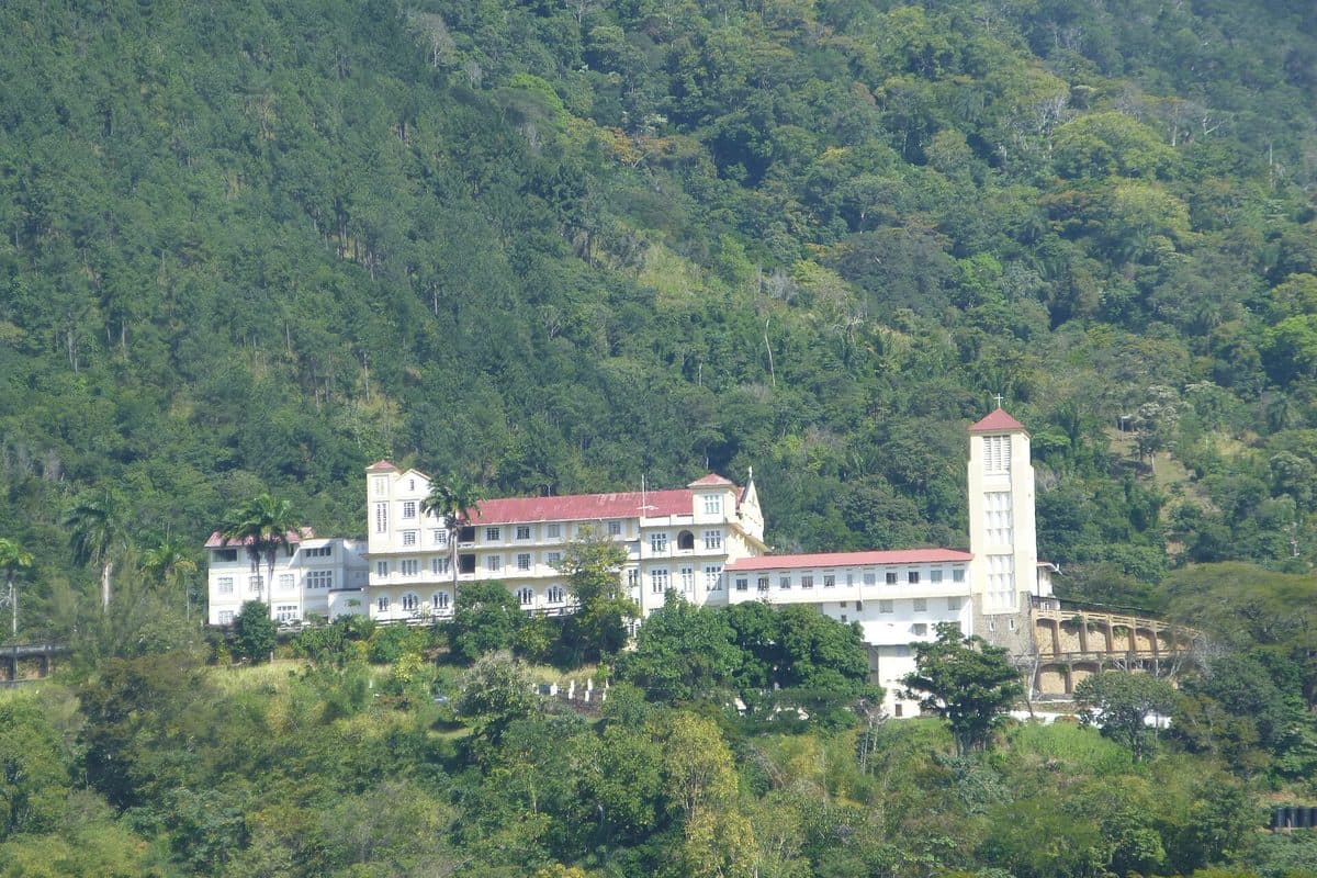
Mount St. Benedict abbey above the central plain
St. Augustine · approx. 35 min

Mount St. Benedict

A Benedictine abbey — the Abbey of Our Lady of Exile — set high on a hill above the plains at St. Augustine, with the whole central plain spread out below. Calm, cool, and a genuinely different afternoon from a beach.

Practical: Active monastery: quiet, modest dress, and check visiting hours first.

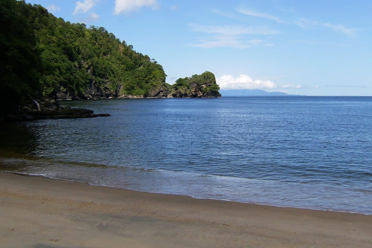
Coastal road and sheltered water in Chaguaramas
Northwest peninsula · approx. 50 min

Chaguaramas & Macqueripe Bay

The northwest peninsula west of Port of Spain, where the road runs along the water past marinas to sheltered coves like Macqueripe — flat, calm swimming on days when the north coast is rough, with the Bocas islands offshore.

Practical: The peninsula road is slow and winding; allow more time than the distance suggests.

South and east — 50 minutes to 1.5 hours

Fewer visitors, bigger landscapes.

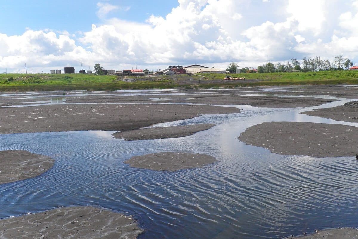
The dark bitumen surface of Pitch Lake at La Brea
La Brea · approx. 50 min

Pitch Lake, La Brea

The largest natural deposit of bitumen in the world — an estimated 10 million tons across roughly 40 hectares, reported to be 76 metres deep. It looks like a black lake that has stopped moving. You can walk out onto it with a guide; the surface is firm in places and soft in others, which is exactly why you take the guide.

Practical: Guided only. Wear shoes you don't mind losing; the lake will stain them.

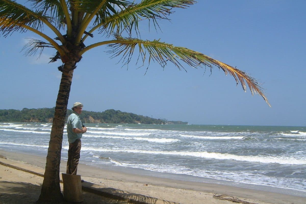
Coconut palms along Manzanilla Beach on Trinidad's Atlantic coast
East coast · approx. 1 hr 15

Manzanilla Beach

The Atlantic side: a long coconut-lined stretch on Manzanilla Bay with real surf and a fraction of the north-coast crowd. The drive out through the cane country is part of it.

Practical: Atlantic currents — swim with care. Little shade or facilities; bring what you need.

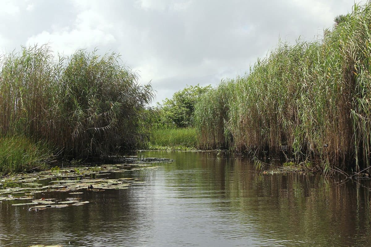
Wetland forest and waterways in Nariva Swamp
East Trinidad · approx. 1 hr 30

Nariva Swamp

The largest freshwater wetland in Trinidad and Tobago, a Ramsar site of international importance covering over 60 square kilometres — and one of the most biodiverse places in the Caribbean, with 45 mammal species, 39 reptiles and over 200 birds recorded inside it.

Practical: Guided access only. Do not attempt to drive into it yourself.

Tobago — a ferry away

A different island with a different pace.

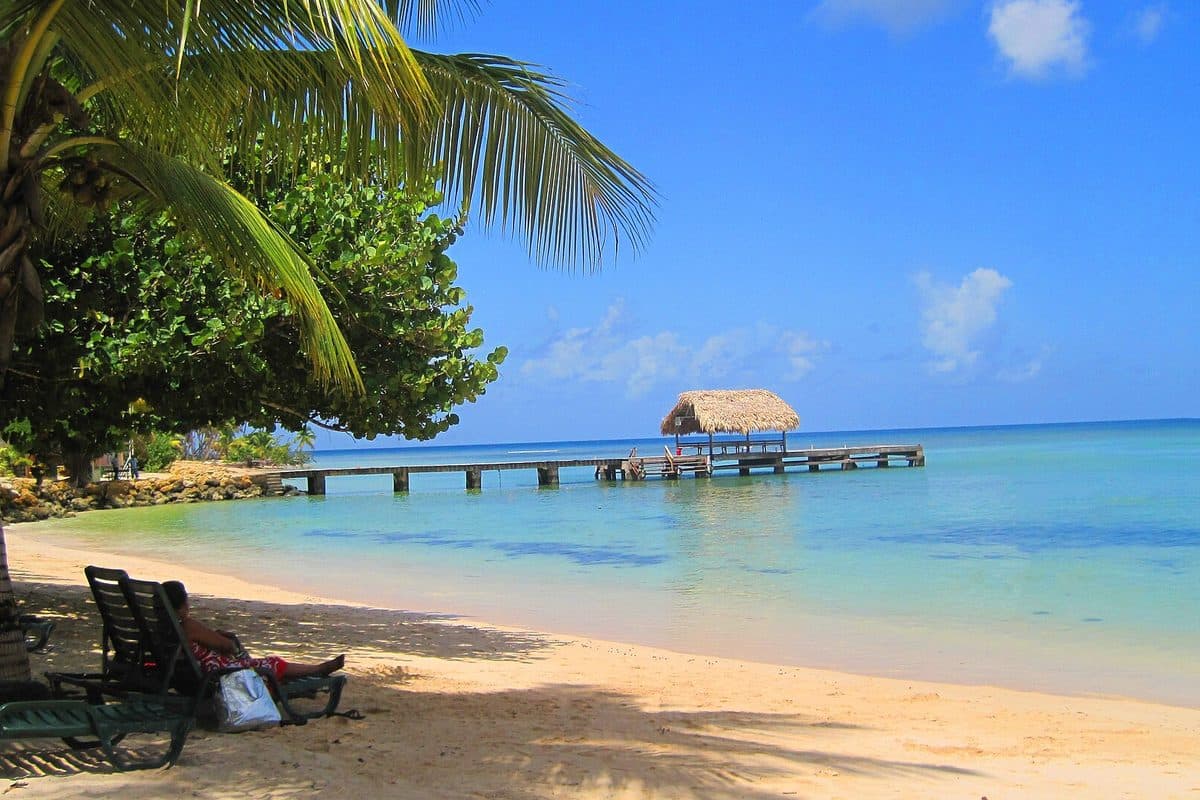
White sand and calm water at Pigeon Point in Tobago
Tobago · southwest

Pigeon Point

Widely called Tobago's most beautiful beach, and home to the thatch-roofed jetty that has become the island's signature image. Long white sand, calm aquamarine water, and proper facilities — showers, chairs, bars, a restaurant.

Practical: Small entry fee at the heritage park gate. Busy when a cruise ship is in.

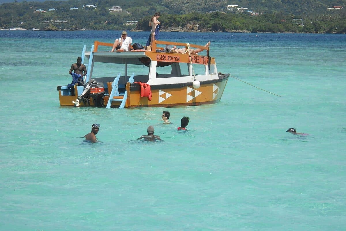
Clear shallow water over white sand at the Nylon Pool
Tobago · by boat

Nylon Pool & Buccoo Reef

An offshore shallow pool of white sand and clear water, reached by boat, named by Princess Margaret in 1962 because the clarity reminded her of nylon stockings. It sits beside the Buccoo Reef, the protected coral system where most visitors to Tobago end up snorkelling.

Practical: Trips leave from Pigeon Point and Store Bay. No standing on coral.

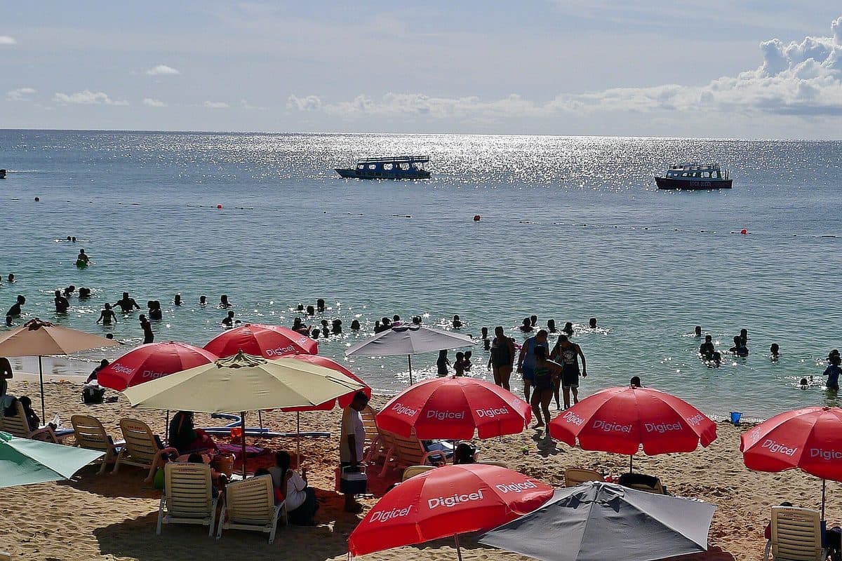
Sandy shoreline and calm water at Store Bay, Tobago
Tobago · Crown Point

Store Bay

The most accessible beach on the island and the closest to the airport at Crown Point — calm water, plenty of vendors, and the place to eat Tobago's crab and dumpling without ceremony.

Practical: Closest beach to the airport. Good last stop before a flight.

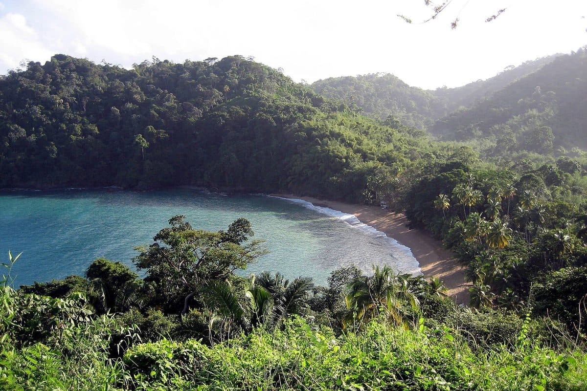
Forest-fringed crescent shore at Englishman's Bay in Tobago
Tobago · leeward coast

Englishman's Bay

A secluded crescent between Castara and Parlatuvier, capped by two forested headlands running down off the Main Ridge, with the sand starting where the forest ends. Consistently named among the island's most beautiful beaches, and never crowded, because it takes effort to reach.

Practical: One small food shack. Bring water and cash.

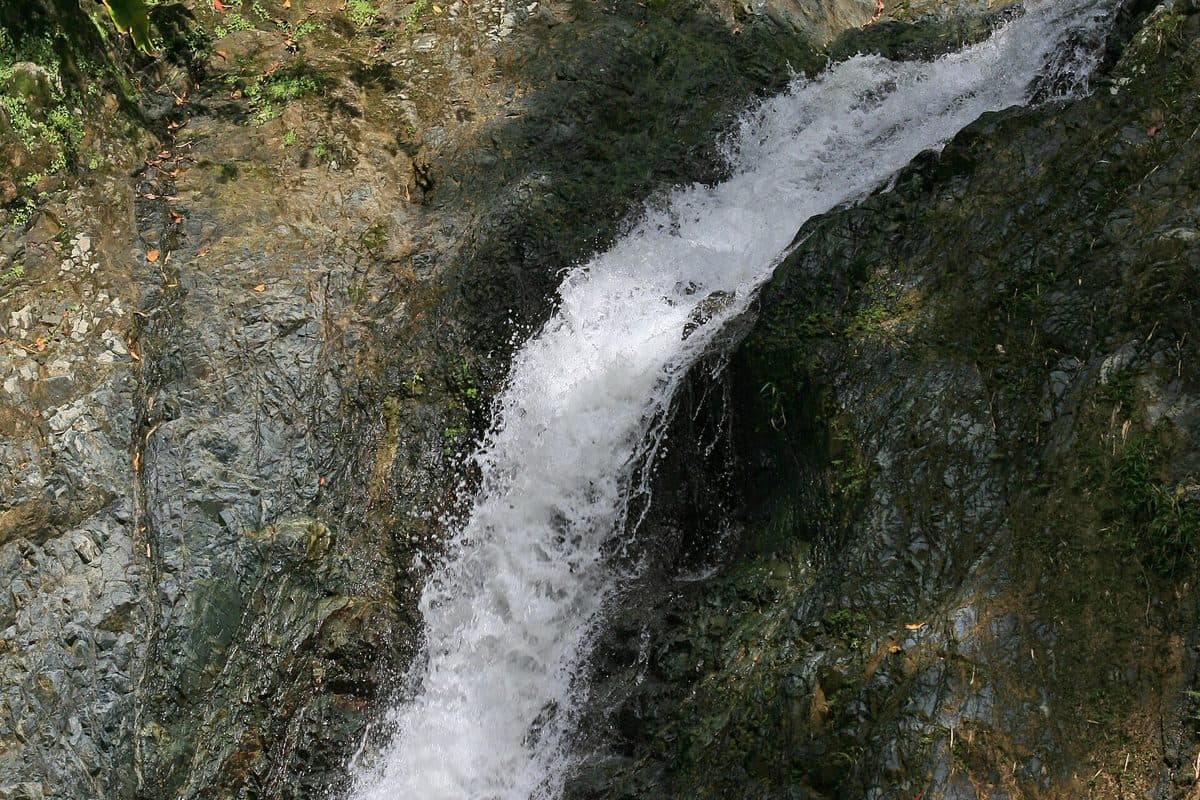
Argyle Waterfall descending through tropical forest in Tobago
Tobago · near Scarborough

Argyle Waterfall

Tobago's best-known waterfall, reached by a short forest trail, with pools at the base you can swim in. Cool, green, and a good half-day when the coast is too hot or too rough.

Practical: Uneven, slippery trail after rain. Entry fee and guide at the gate.

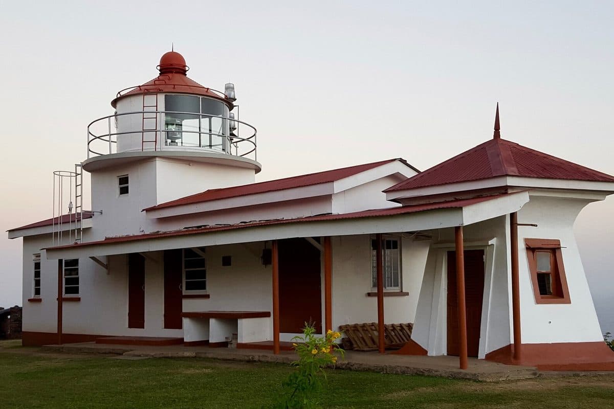
Fort King George overlooking Scarborough and Tobago's harbour
Scarborough · Tobago

Fort King George

The old British fort on the hill above Scarborough, with its lighthouse, barracks and cannons still looking down over the harbour. The best view in Tobago and the fastest way to make sense of the island's history.

Practical: Steep, narrow road up. Combine with Scarborough and Store Bay.

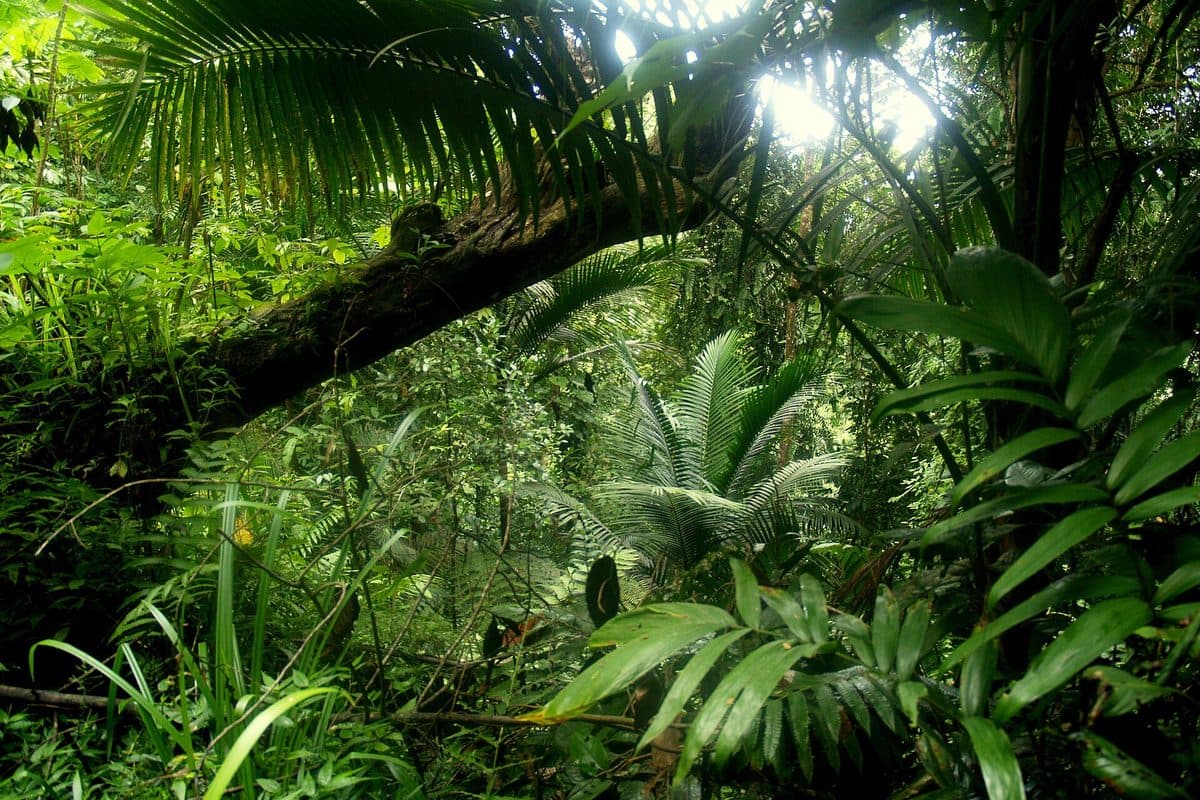
Rainforest canopy and trail in Tobago's Main Ridge Forest Reserve
Tobago · interior

Main Ridge Forest Reserve

A 29-kilometre ridge running the length of Tobago, and inside it the Main Ridge Forest Reserve — legally established in 1776, which makes it one of the oldest protected areas in the world. It is why Tobago is a birdwatching destination, with several species found nowhere else.

Practical: Gilpin Trace is the usual walking route; take a guide if you want to see the birds.

Getting to Tobago

Rentals may travel to Tobago on the inter-island ferry — tell us when you book and we will note it on your agreement. The ferry runs between Port of Spain and Scarborough and carries vehicles as well as foot passengers, so confirm your sailing in advance. Driving on the island is easy: the Claude Noel Highway and Shirvan Road carry an 80 km/h limit, and everything else is 50 km/h unless signed otherwise.

Photo credits

Photographs from Wikimedia Commons under their respective licences: Maracas Bay — Kalamazadkhan (CC BY-SA 4.0); Pitch Lake — Martina Jackson (CC BY-SA 3.0); Scarlet ibis — Mike's Birds (CC BY-SA 2.0); Queen's Park Savannah — Grueslayer (CC BY-SA 4.0); Royal Botanic Gardens — public domain; Fort George — John Cray (CC BY-SA 4.0); Temple in the Sea — neiljs (CC BY 2.0); Mount St. Benedict — Grueslayer (CC BY-SA 4.0); Manzanilla — Jimfbleak (CC BY-SA 3.0); Macqueripe Bay — R45 (CC BY-SA 3.0); Nariva Swamp — Shiv Trinidad Skey (CC BY 2.0); Pigeon Point — Kp93 (CC BY-SA 3.0); Nylon Pool — Darkonc (CC BY-SA 3.0); Englishman's Bay — Dnamolecule (CC BY-SA 3.0); Argyle Falls — cheesy42 (CC BY 2.0); Fort King George lighthouse — Nigel Ayen (CC BY 3.0); Gilpin Trace, Main Ridge — Aivar Ruukel (CC BY-SA 2.0); Store Bay — Kalamazadkhan (CC BY-SA 4.0).

For current destination information, visit Tourism Trinidad and the Tobago Tourism Agency.

WhatsAppEnquire